Map Snapshot


110 Records
Status
"Nova Scotia and Maine to Minnesota, south to Florida, Texas, California and Mexico; West Indies" (Reed, 1964).
Description
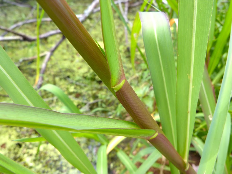
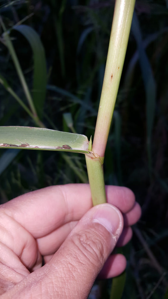
Zigzag shape of stem is a helpful feature.
Relationships
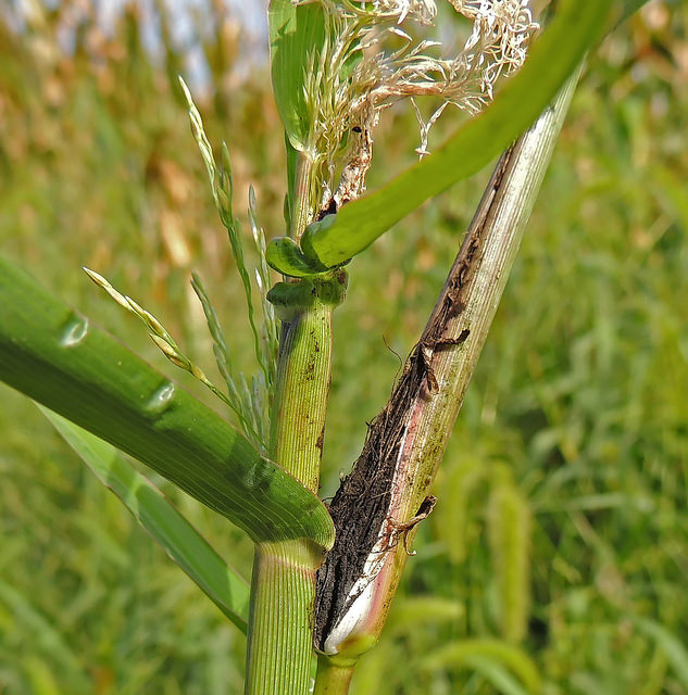
Frequently attacked by a fungi known as Smut, which turns the developing flower heads into a mass of black spores (R. Orr, pers. comm.).
Seasonality Snapshot
Use of media featured on Maryland Biodiversity Project is only permitted with express permission of the photographer.
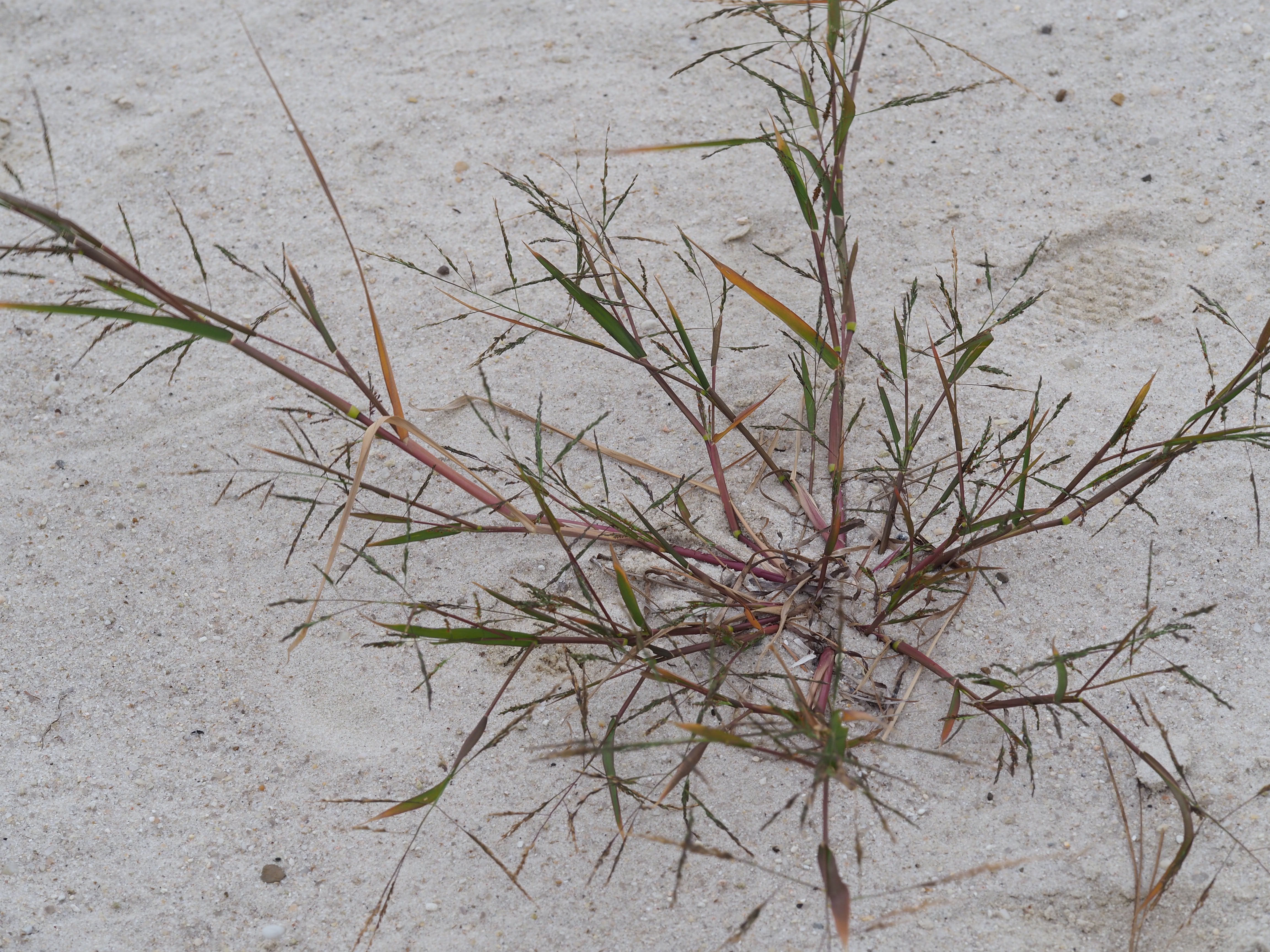
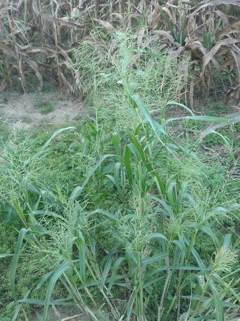
Fall Panicgrass in Worcester Co., Maryland (10/10/2020).
View Record Details
Media by
Jim Brighton.
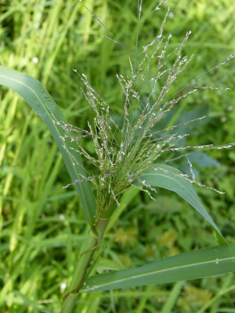
Fall Panicgrass in Queen Anne's Co., Maryland (9/5/2016).
Media by
Jim Brighton.
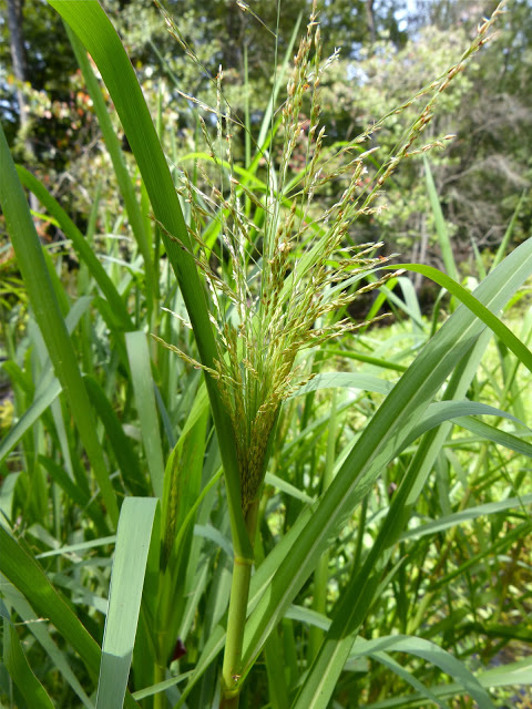
Fall Panicgrass in Queen Anne's Co., Maryland (8/25/2013).
Media by
Jim Brighton.
Fall Panicgrass in Queen Anne's Co., Maryland (8/25/2013).
Media by
Jim Brighton.
Fall Panicgrass in Caroline Co., Maryland (9/23/2017).
View Record Details
Media by
Wayne Longbottom.
Fall Panicgrass attacked by Ustilago destruens in Howard Co., Maryland (9/15/2014).
Media by
Richard Orr.
Fall Panicgrass in Prince George's Co., Maryland (9/30/2017).
View Record Details
Media by
Bill Hubick.
